It’s almost that time of the decade. Next year, the United States Census will take a hyper-detailed survey of every living person in the country. But what exactly does the Census do? The Founding Fathers established it in 1790 to empower residents of the Fledgling United States by determining their representation in Congress. It may not seem like a huge deal, but enshrining this invention in the Constitution marked a turning point in world history. Censuses were previously used for taxing, confiscating property, or conscripting youth into military service—not the most savory purposes. Nowadays, the Census Bureau conducts their count on a decennial basis, uncovering pivotal population data in the process.
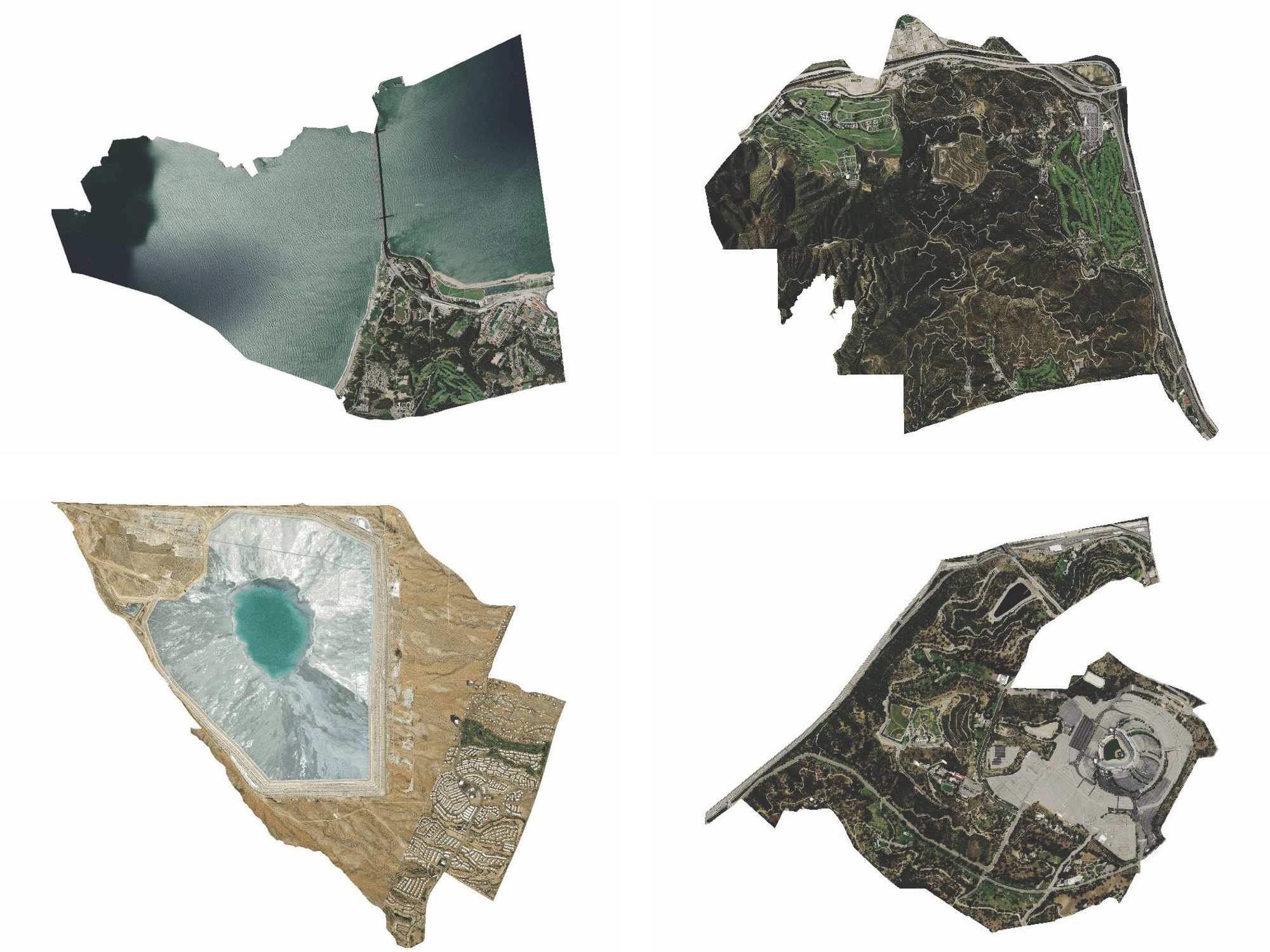
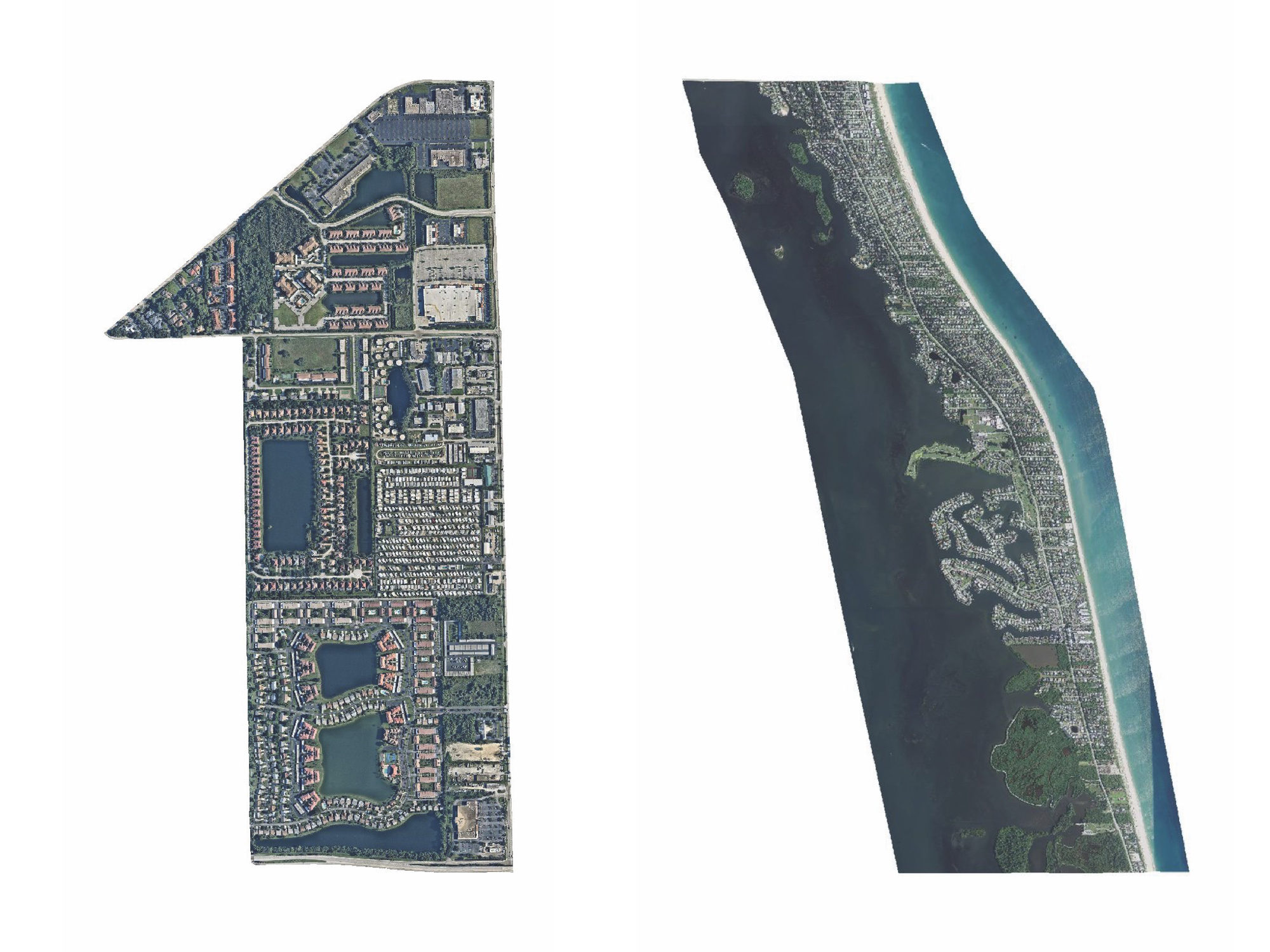
To accomplish this, the institution groups everyone into geographic areas called tracts. The formal definition? A small subdivision of a county that ideally contains about 4,000 people and 1,600 housing units. But let’s not get lost in the numbers. Neil Freeman, a New York City–based urban planner who creates cartographic-inspired artworks under the moniker “Fake is the New Real,” is an expert at rethinking ways to view space. He recently programmed @everytract to tweet a bird’s-eye view of every single census tract in the United States, capturing the subtle nuances of the built environment within. At press time, the account had most recently shared tract 401.18 in Lee County, Florida, where deep blue lakes and lush greenery punctuate winding suburban cul-de-sacs.


